
1. The borders of Europe. Do the limits of Europe correspond to political borders?
1a. Europe
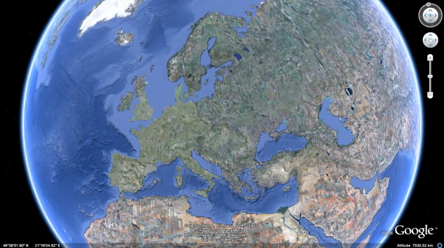 Click image to enlarge
Source: Google.
Questions 1a
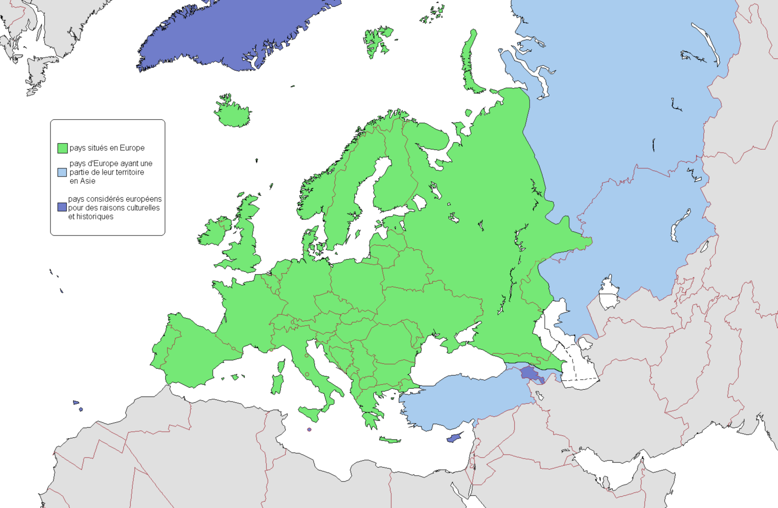
1b. The official borders of Europe
 Click image to enlarge
Source: Wikipedia.
Key to the map
- Countries situated in Europe.
- European countries whose territories partly belong to Asia.
- Countries which have been considered European for historical and cultural reasons.
Presentation
The official borders of Europe were established along the Ural River and the Ural Mountains in the middle of 18th century when a geographer, Vasily Tatishchev, was ordered by the tsar Peter the Great to push them eastward as far as possible to reinforce the incontestable European character of Russia.
Questions 1b
Suggestion of Activities
The first session shows that all the borders of Europe are not equally clear and, particularly, that the eastern boundaries are fuzzy enough to suggest different interpretations.
- Question 1 about the document 1a: The students attempt to delineate Europe by drawing its limits. The comparison of their individual drawings permits to identify points of consensus and disensus on the supposed location of the limits of Europe. It will be particularly interesting to point out the following aspects: drawing out limits in the area of the Mediterranean or the Atlantic islands; the total or partial integration of Asiatic Turkey, Cyprus and European Turkey into Europe; the location of the eastern edge of Europe in Russia.
- Question 2 about the document 1b:
The examination of European borders (according to Tatishchev’s definition) aims to specify the landmarks that define these borders. This leads to comparing different kinds of northern, southern, western and eastern limits of Europe. This, in turn, leads wondering about the justification of the limits by examining what they separate. The glossary gives accuracy to the notions discussed: the coastlines seem to serve as clear boundaries of the continental shape, if you refrain from wondering to whichcountries the sea belongs; the straits are distinct separations but not exactly borders, if you notice that the European part of Turkey is often considered as a border area between two different continents. As to the Ural River and the Ural Mountains, there was an attempt to treat them as landmarks separating geographically two continents without dividing a single country…


Glossary
Boundary: borderline defining a shape or an area.
Separation: a line between two spaces to keep them separated.
Border: line of contact between two countries.
Border area: transition zone between two countries.
Continent: (the first meaning) a large area of lands surrounded by seas.
Continent: (the second meaning) the whole of lands literally «linked together».
Europe: the part of Eurasia located north of the Mediterranean and west of the Ural Mountains.
The European Union: the whole area of European countries who signed the same union treaty.
The Schengen area: the territories in which there are no border checks except for the common border check at the external boundaries of the European Union.